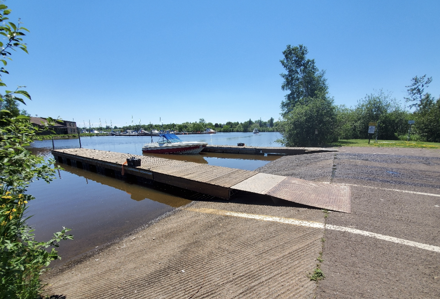
 Image of a boat launch in the Reserve
Reserve Introduction
Overview of the Lake Superior NEER program and estuary
Research, education, and stewardship of the St. Louis River begins with understanding this dynamic, important place.
Each National Estuarine Research Reserve develops a site profile synthesizing knowledge about its physical, historical, social and biological characteristics to guide research activities. This site profile is here to help you orient to our Reserve and understand its context.
Navigate this resource by accessing the chapters and content in the blue tabs above. Go directly to interactive elements by clicking on the squares below. Find additional complementary resources in the navigation bar at right. Welcome and happy exploring.
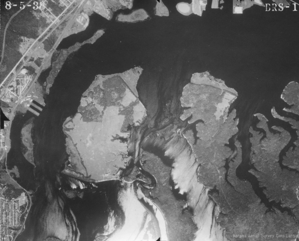
Compare historic images of the Reserve with an interactive Story Map
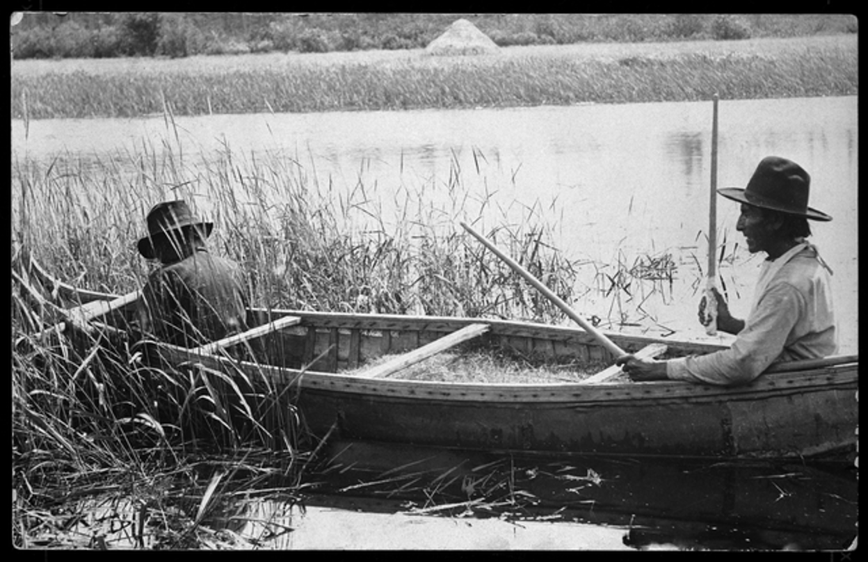
Interactive Timeline of Land and Water Management: Expand each section of this timeline to explore historic photos and documents related to the St. Louis River estuary.
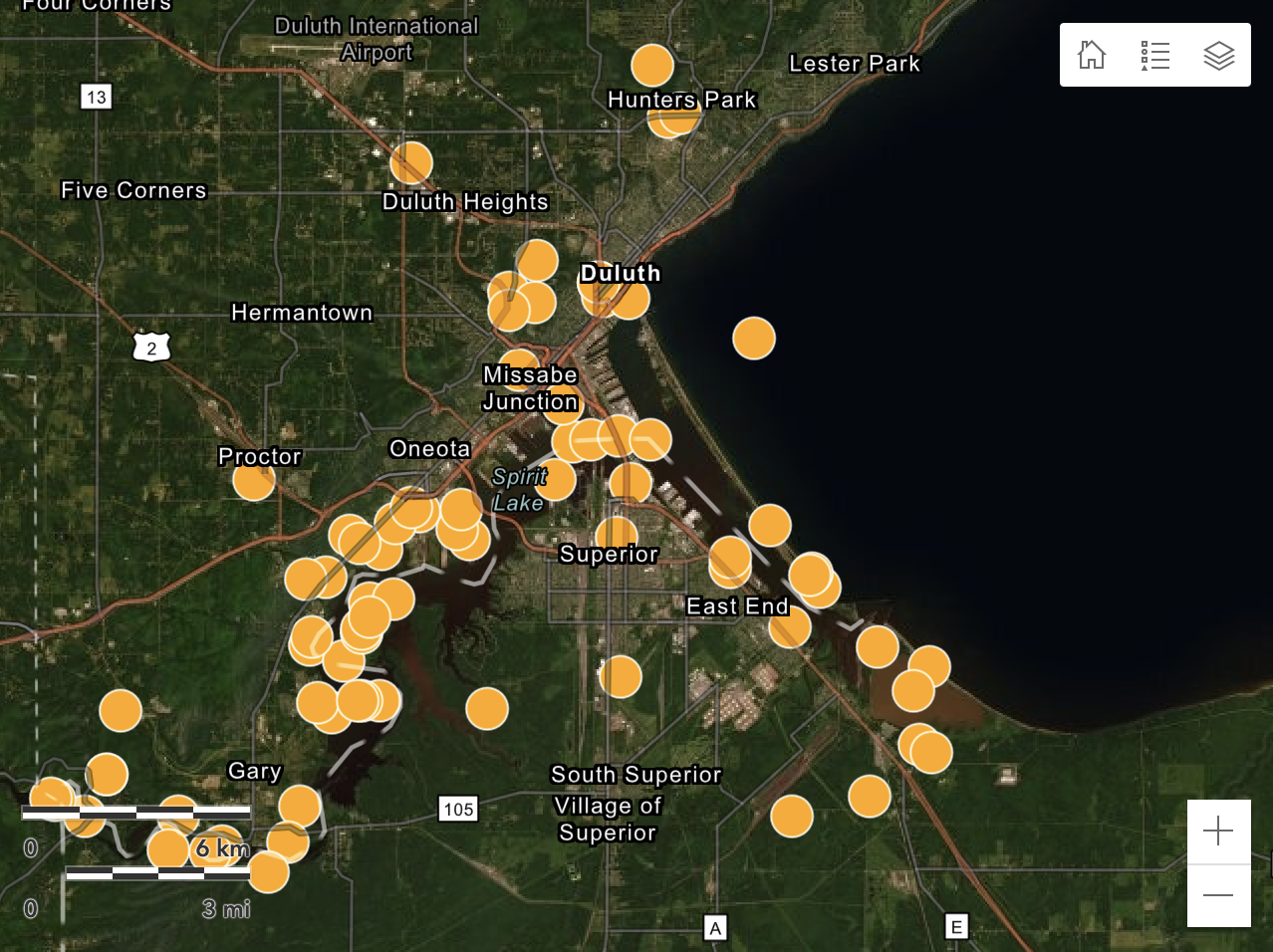
Estuary Restoration: View of a comprehensive map of restoration activities in the St. Louis River estuary, including project information and contacts.
Water Level Viewer: Explore a visual record of shoreline changes throughout the Western Lake Superior region using georeferenced photos.
Overview of the Lake Superior NEER program and estuary

Historic impacts, restoration efforts and reserve resilience

Relevant research on the socio-ecological and environmental setting

Ongoing research and monitoring activities at the Reserve

Partnering Organizations
Acknowledgements
The Lake Superior National Estuarine Research Reserve is part of the National Estuarine Research Reserve System (NERRS), established by section 315 of the Coastal Zone Management Act, as amended. Additional information about the system can be obtained from the National Estuarine Reserve Division, Office for Coastal Management, National Oceanic and Atmospheric Administration, U.S. Department of Commerce, 1305 East West Highway - N/ORM5, Silver Spring, MD, 20910.